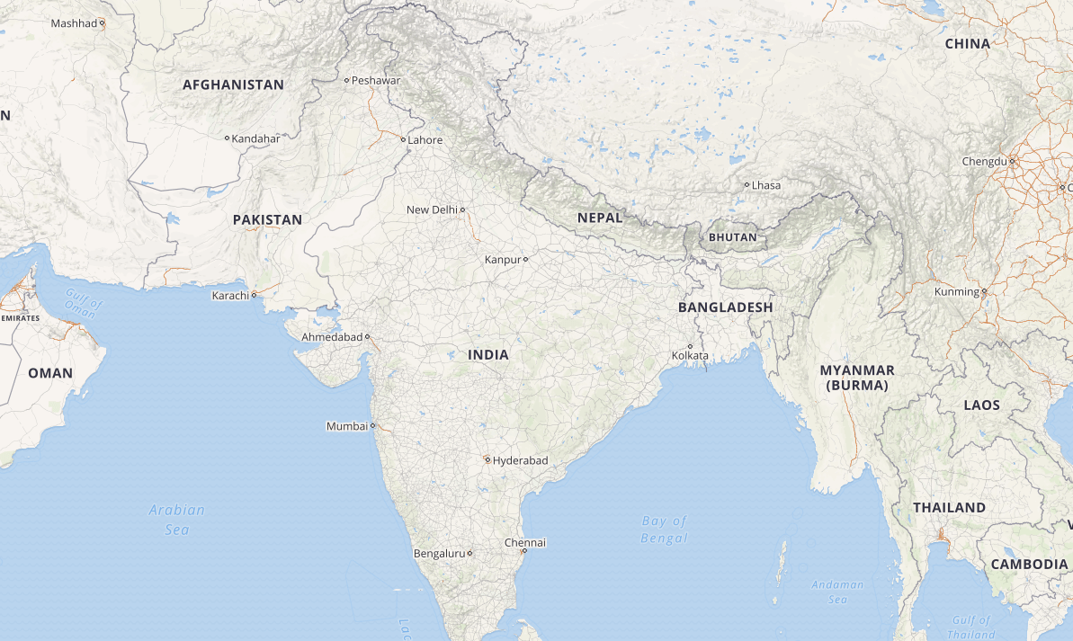
On May 4, 2016, the Ministry of Home Affairs published the draft Geospatial Information Regulation Bill, 2016, seeking to regulate the acquisition, dissemination, publication and distribution of geospatial information of India that is likely to raise security concerns. Comments on the Bill were invited from stakeholders, in pursuance of which we submitted our own set of responses. Here’s the full text of our submission.
Objective of the bill
The stated objective of the Bill is to regulate the acquisition, dissemination, publication and distribution of geospatial information of India, which is likely to affect the security, sovereignty and integrity of India and for matters connected therewith or incidental thereto. This objective, based on the expansive definition of geospatial data used in the Bill, gives the proposed legislation a wide ambit and could result in misuse as seen in the case of Section 66A of the Information Technology Act, 2000. If the aim of the legislation is limited to protecting the security interests of the country, the objective and provisions of the legislation need to be tailored to suit that aim, ensuring that the freedoms of citizens, including the freedoms of speech and expression and the freedom to practise any profession, or to carry on any occupation, trade or business, are not affected.The Government should hold wider consultations on the need to have such a bill and the boundaries of it as the bill in the current form imposes wide restrictions on businesses as well as users.
Definition
The definition of “geospatial information” in the Bill is too broad and could cover a wide variety of information including photographs taken by a citizen with a mobile camera having location data. The definition needs to be narrowed down to remote sensing data and satellite imagery so that users are not burdened with licensing requirements.
Acquisition of Data
The bill should only be restricted to the acquisition of remote sensing data and satellite imagery and that too for the limited purpose of the security interests of the country with respect to information pertaining to strategic locations. Any broad licensing requirements on acquisition will only affect the Indian industry as mapping data has wide variety of applications ranging from navigation systems to open source mapping.
Distribution of Data
There should not be any restrictions placed on the distribution and use of geospatial data, except may be with respect to data pertaining to locations of strategic importance. As data pertaining to locations are often crowd-sourced, the map providers and distributors downstream do not have much control over this. In such cases, providers should be granted immunity in tune with provisions of Section 79 of the InformationTechnology Act, 2000.
License
By mandating any person who wants to acquire, disseminate, publish or distribute geospatial data to apply for a license will result in unnecessary bottlenecks for industry,especially startups and for Open source projects like OpenStreetMap. OpenStreetMapproject and other mapping solutions are often used by citizens during emergency situations like natural disasters for relief operations. Thus, licensing requirements will sound the death knell for such initiatives.


